Updates for Saturday - 8/17
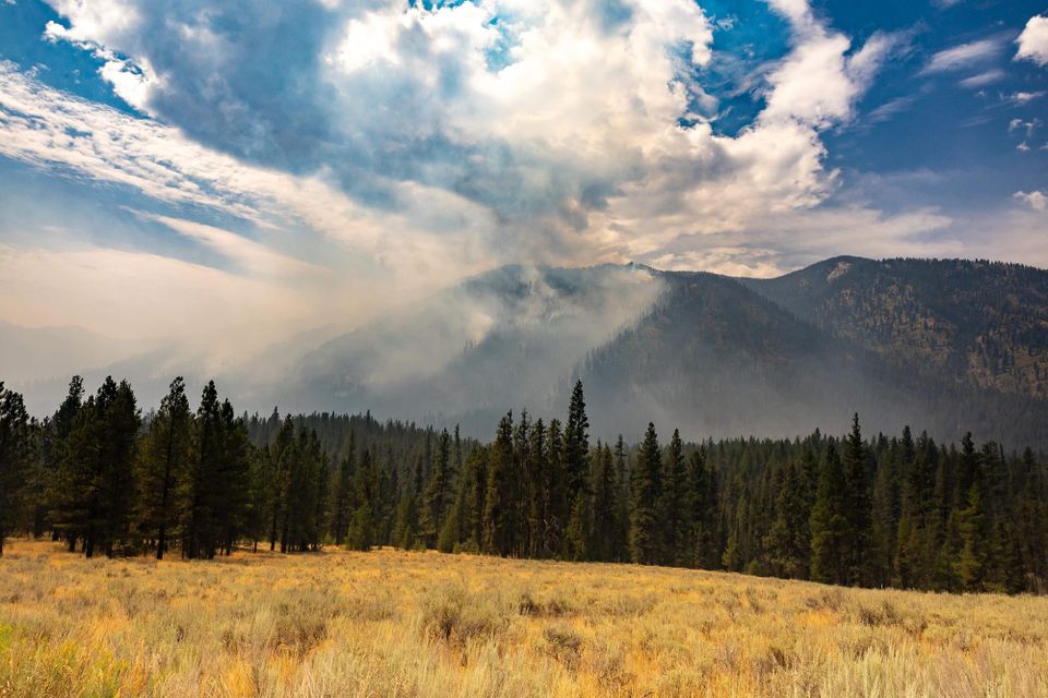
Back Half of August
Every year around this time, I start getting the question, "How long will this season last?" I think I've had some form of this question posed at least five times in the last three days.
The short answer, as always, is that I don't know. In fact, to me, the last two weeks of August are the most unpredictable, at least for the Central Idaho Mountains. We could have an inferno, or things could tone down a bit as the frequency of 100-degree and single-digit humidity days decreases. Right now, we are seeing reasonably moderate fire behavior in Idaho; we just have a lot of it. Don't expect this moderate behavior to last; it certainly could, but some of Idaho's most infamous fires (Great Fire of 1910, Butte - Long Tom Complex, Salt, Sundance, etc) blew up at the end of August, causing firefighter entrapments and fatalities. This is not a time to let your guard down.
That being said, September is Coming. Usually, that first week or two of September is when we have our first real cold front, which drops temps and brings in humidity. Those intense cold fronts in early fall are preceded by high winds, which is why so many fires have blown up around then. Our daily burn period shrinks as the days get shorter and the overnight temperature/humidity recovers more. A late September fire is a far different beast than a July or August fire.
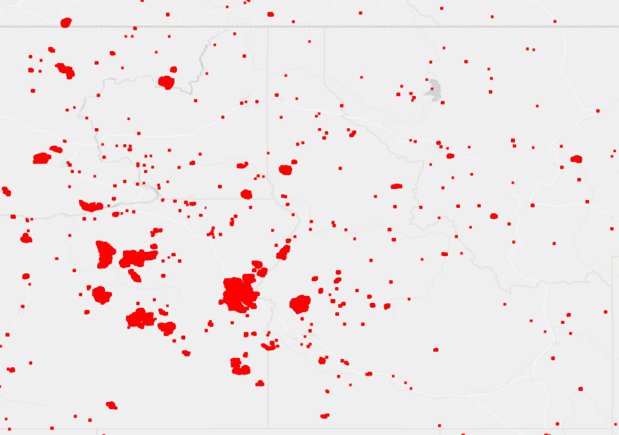
I created the above map, showing all MODIS/VIIRS satellite-based fire detections from the last 30 days, to show the impact fire has had on Idaho, Eastern Oregon, and Eastern Washington. As bad as this map looks, I see large swaths of areas that have been quieter than average, and I know that this season could be way worse with only a slight change in conditions.
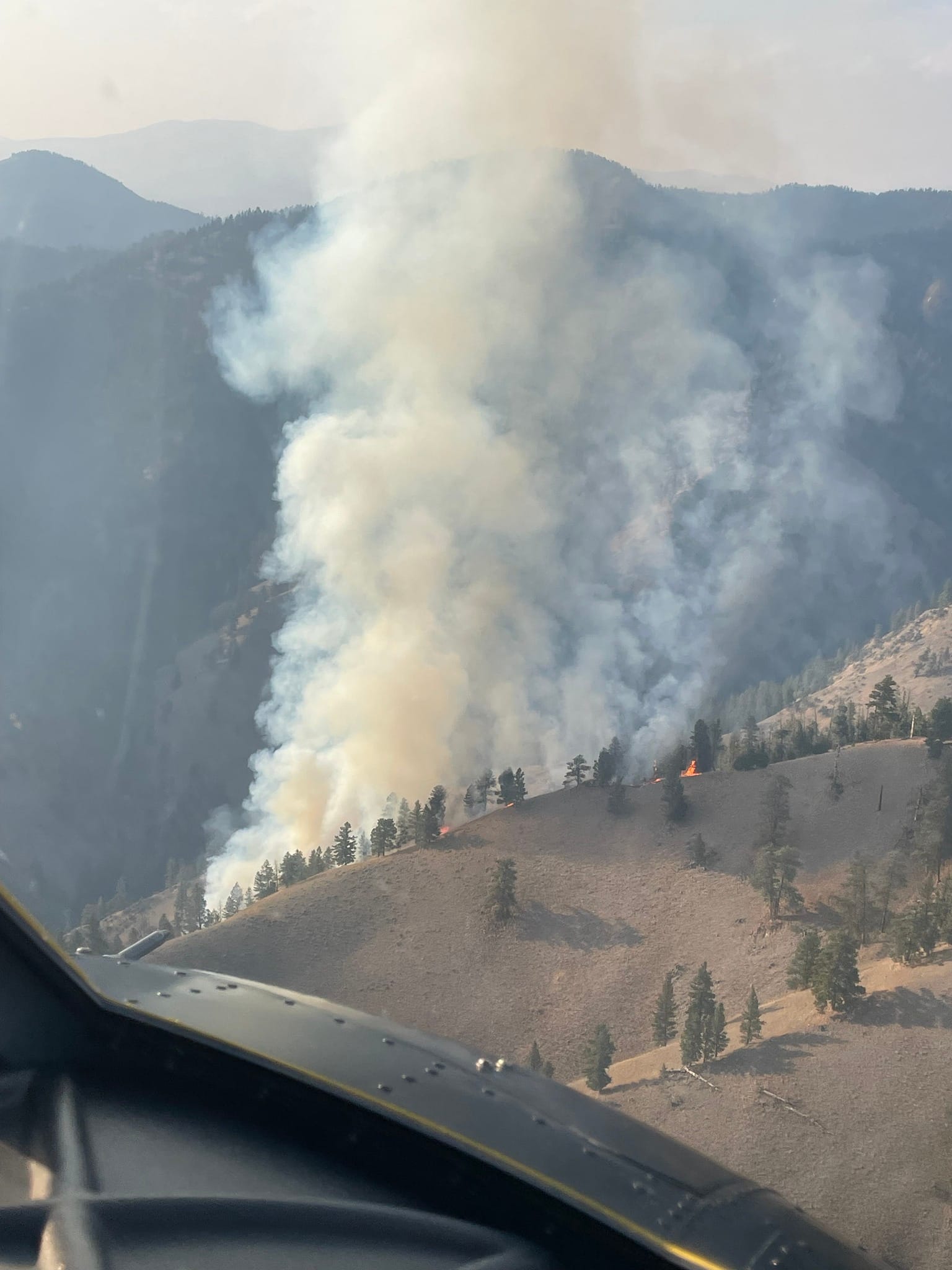
Snag Fire
20,124 Acres - 0% Contained
For the most part, the Snag fire has been a fairly slow moving fire. Looking at last night's IR map, even areas that burned many days ago still show scattered heat, indicating a very slow consumption of fuels. I suspect much of this fire has been a healthy fire, with a mosaic burn pattern and lots of low-intensity ground fire behavior. That being said, I've seen so few photos of the actual fire that it's hard to confirm that suspicion. I look forward to scouting the burned area later this fall to see for myself. I'm going to go around the fire with updates, but I'm not going to rehash everything I've said in the last couple of updates – most of that is still very much accurate and not much has changed. As such, this should be a much shorter analysis.
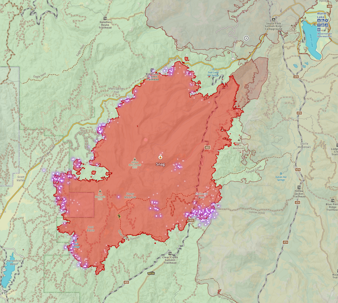
Looking first at the East and North-eastern side, I said in my previous updates that if the fire reached the Warm Lake area, it'd be lower intensity, and we'd see this end handled with a night or two of firing operations. That's still true, but at this point, I don't see the fire progressing toward Warm Lake at all. There's a scenario or two where it could, but I find it increasingly unlikely. The fire is not burning into the scars from the 2007 Monumental, 2007 North Fork or 2015 Cougar fires. I'm seeing less heat on that end every time I look.
Looking on the North and North West side, along the Warm Lake Road. This fire has been backing down the ridge towards the road as slow as any fire I ever seen back down a ridge. Given the intensity seen here and the glacially slow movement toward the road, I'm not concerned about its impact on the road or movement across the road.
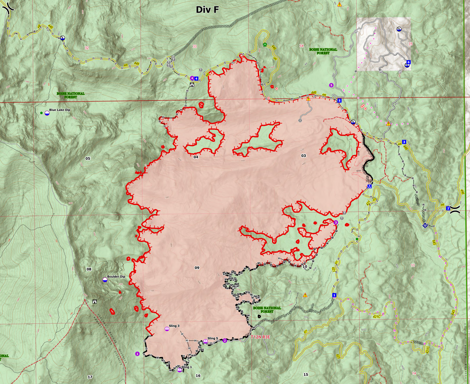
Now, for the west side, it gets more interesting here.
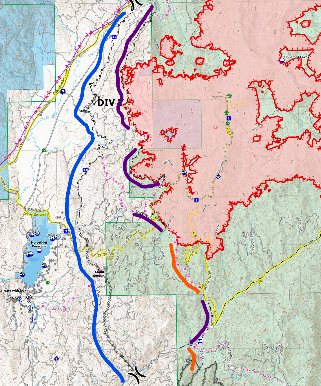
The map above is the official operations map, with a few highlights I added. Next to the blue highlight, you'll see the contingency line, which has been in place for about a week or so. This line, a mix of a dozer line and an old road has been improved and prepped as an indirect fuel break to protect Horsethief. I'm very confident in that contingency line's ability to protect Horsefhief. If the fire gets near the line, a burnout will reinforce the line further.
Now that the line is established and defendable, fire crews have the time and confidence to go more direct and try to stop the fire before it reaches that contingency line. You'll see sections of completed line (noted with purple I added) that were direct attacks on the fire, or were indirect and fire has now reached. You can also see some planned lines following the orange lines I added.
Based on all of this, when combined with the fuel load in the area, terrain, expected weather, and other factors I'm looking at, I'm optimistic that the fire will be held in the general area it is without much further progress toward Horsethief. But note that these lines in that area are not showing containment yet; if they were, they'd be a thick black line. As such, sections of this primary line are completed, but the fire isn't cold, and mop-up hasn't been done yet. Mop-up and containment will come as the sections are tied together and the fire cools off along the line. Helicopters have been supporting line building in this area by doing bucket work to cool off hot spots.
On the south side, parallel to Clear Creek Road, nothing has really changed since my last update. However, crews plan to construct a line across the road into the 2023 East fire area to prevent the Snag or the Goat fire from coming down the Clear Creek road towards Horsethief.
Dollar Fire
1,709 Acres, 0% Contained
The Dollar fire has been in monitoring status, but as of the last day or so, a crew is actively working the fire on the SW side. Their goal is to establish a fire line to prevent the fire from leaving the drainage it's been burning in. I don't know exactly where they're planning on that line, but it's in the general vicinity of the trailhead.
Boulder Fire
2,134 Acres - 26% Contained
It appears the large burnouts on the Northeast and East sides of the fire have wrapped up. The fire shows 26% contained, but given the amount of line around this fire and natural barriers, they've pretty much got this fire pinned in. The fire may burn a bit more in the head of Fawn Creek, but significant movement or movement in any other direction is unlikely. I'd expect a significant increase in containment over the next few days.
Flat Fire
3,278 Acres - 14% Contained
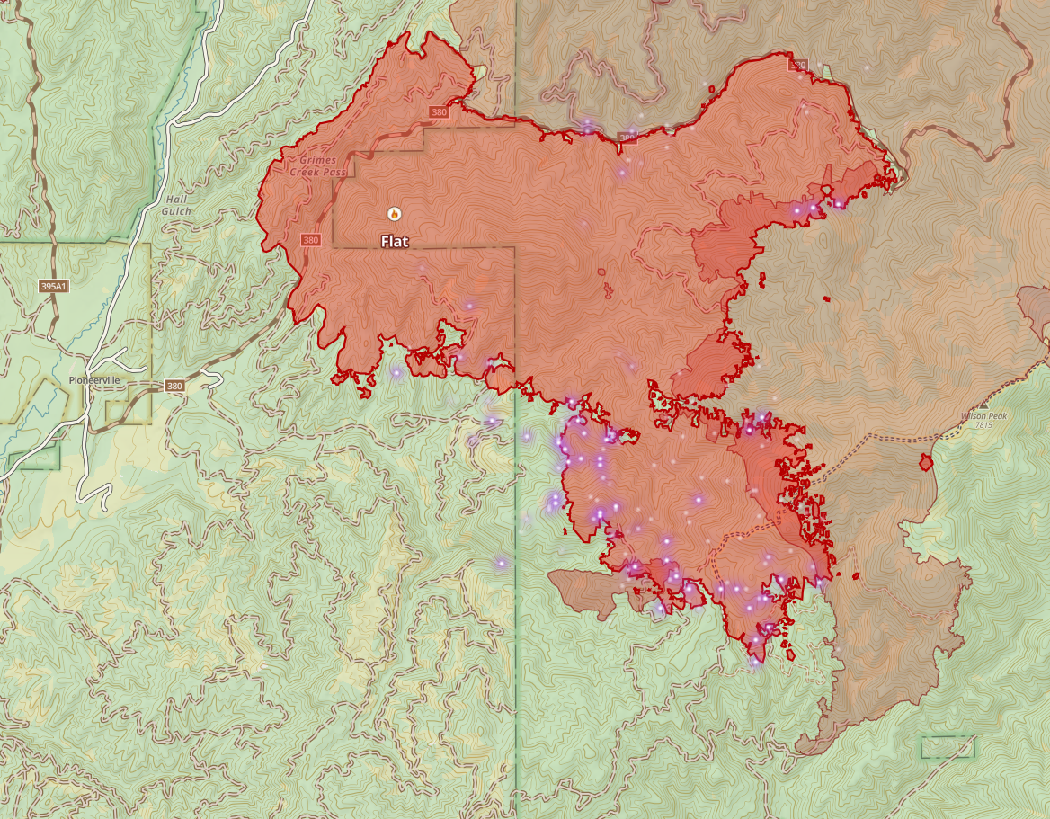
I'm feeling pretty good about the work done on the Flat Fire at this point. I think the threat to Pioneerville is extremely low. The fire's West end shows little or no heat and growing containment there with a mix of dozer lines and logging roads layered up to prevent westward movement. On the north side, we're bumped up to old burn scars and not seeing any progression into them. On the southeast side, where I've been most worried, there's a dozer line extending almost to the old burn. There is still risk on this flank, especially with a red flag warning in place today, but I'm generally optimistic they'll catch this end without much further movement South or East. Scoopers are supporting fire crews in this area today.
Gabe Fire
< 10 acres
The Gabe fire is a recent lightning start near Snowbank. It is currently less than 10 acres and is being held by Initial Attack Resources. I expect containment in the next 24-48 hours.
Limepoint Fire
31,545 Acres - 51% Containment
Crews have continued to increase containment, at this point, the only real heat I see is north of Horse Mountain. I haven't been following this fire as closely since crewed stopped it from burning the communities of Cuprum, Bear and Wildhorse – where it's active now is remote and uninhabited. Based on a quick look, the fire is burning towards areas with natural anchor points where it should slow and hopefully be easier to stop.
Hammer Fire
The Hammer fire is an Initial Attack that started yesterday. It's currently less than 10 acres and showing minimal smoke. This fire got a very aggressive initial attack response with two helicopters, two crews, one hotshot crew, and a couple of type 1 helicopters. Given the location and primarily moderate fire behavior we've seen on the SCNF this year (which is weird), I'm guessing they'll hold this one, but today is a red flag day across much of Idaho, so no promises.
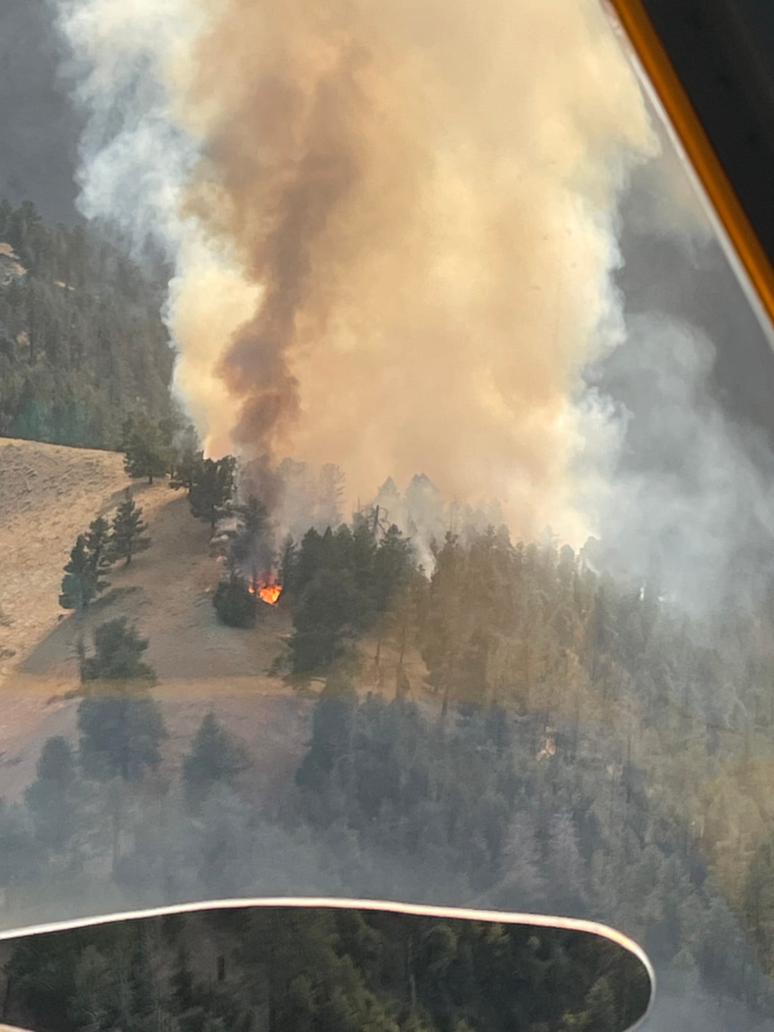
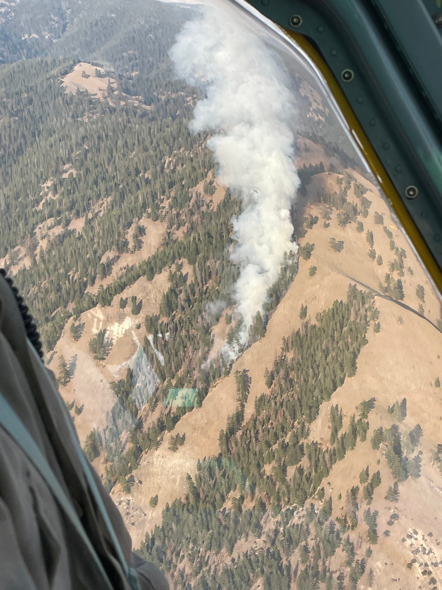
Other Fire Updates
Looking around the state at the other fires burning, I see nothing that jumps out at me as newsworthy or significant changes from my previous commentary. But of course, please do reach out if you have questions about a fire.
Fire News

Military Firefighters deployed to support efforts against Idaho wildfires
Member discussion